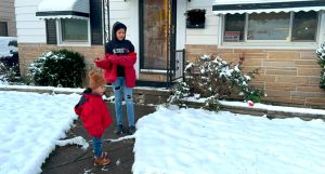


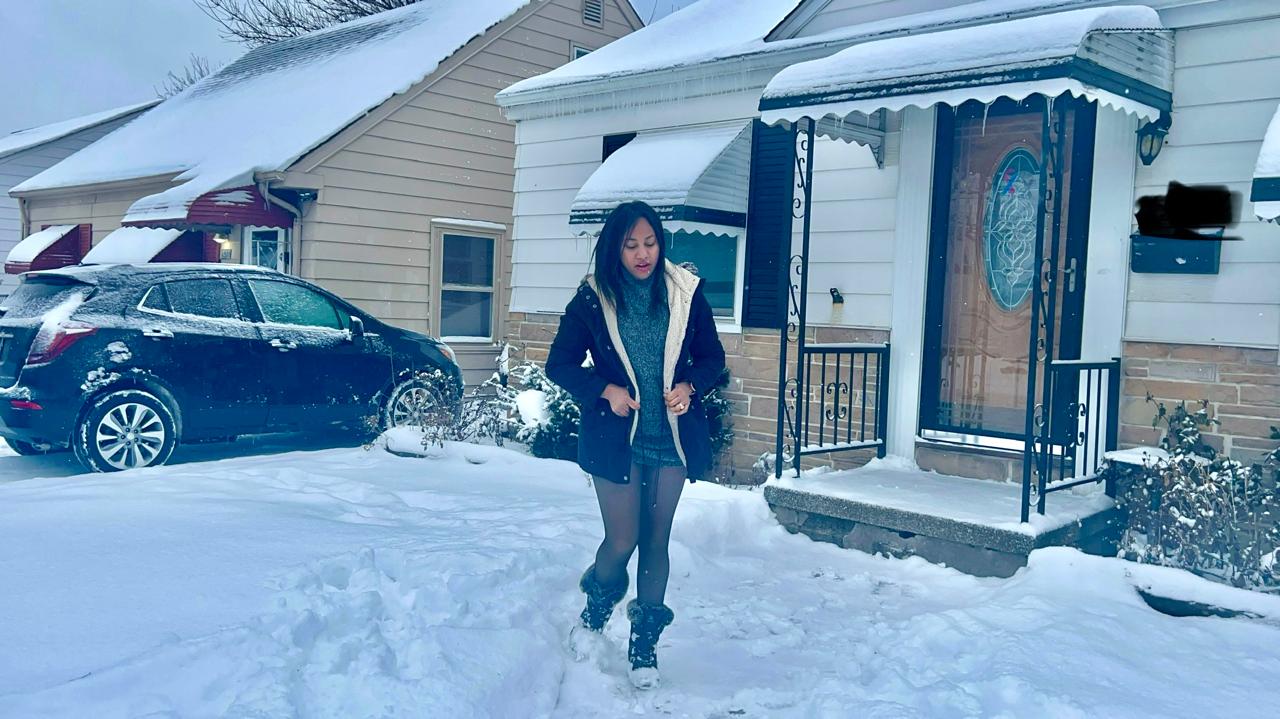
Forecasters warn that this season’s coldest blast of Arctic air is arriving to put a frigid exclamation point on the U.S. winter, characterized by repeated invasions of polar vortices. And it will remain frozen there all next week.
Different climatic forces in the Arctic are combining to push cold air that usually lingers near the North Pole not only toward the United States but also toward Europe, several meteorologists told The Associated Press.
This will be the 10th time this winter that the polar vortex, which keeps the coldest Arctic air locked atop the world, stretches like a rubber band to send some of that big cold southward, said Judah Cohen, director of seasonal forecasting at the private company Atmospheric and Environmental Research. In a normal winter, this happens maybe two or three times.

This winter, with record snowfall in New Orleans and drought and destructive wildfires in Southern California, has not been normal.
The latest expected cold outbreak should first hit the northern Rockies and northern Plains on Saturday and then remain there throughout next week. The cold will likely be concentrated east of the Rocky Mountains, with only the far western United States and central and southern Florida exempt, forecasters said.
On Tuesday, the lower 48 states are expected to have an average low temperature of 16.6 degrees Fahrenheit (minus 8.6 Celsius), then falling to 14 degrees (minus 10 Celsius) on Wednesday, estimated private meteorologist Ryan Maue, former chief scientist at the National Oceanic and Atmospheric Administration.
At some point next week, 89% of the continental United States will be below freezing and 27% of the lower 48 states will be below freezing (minus 18 degrees Celsius), according to National Weather Service forecasts.
Forecasters expect strong winds to make the cold feel even colder. In all U.S. states except Hawaii, California and Florida, some or all places are expected to have a good chance of wind chills of 20 degrees or lower sometime next week, the National Weather Service predicted.
Kansas, Nebraska, Missouri and Iowa will likely have the most dramatic cold, with temperatures up to 35 degrees (19 degrees Celsius) below normal for this time of year, said Zack Taylor, a meteorologist with the weather service’s Weather Prediction Center. NOAA weather models predict below-freezing low temperatures Wednesday in Oklahoma, Colorado, Nebraska, Missouri, Illinois, Iowa, Kansas, Wyoming, Montana, North Dakota, South Dakota, Minnesota, Wisconsin and Michigan.
Some storms — with flooding, heavy snow or even a nor’easter — could hit next week’s prolonged cold snap, but details about them aren’t certain yet, Taylor said.
“Everything, all the stars are aligning, all the wind directions in the atmosphere are blowing cold polar air out of the Canadian Arctic,” Maue said. “We are in the middle of winter. Everything indicates that an extremely intense winter cold is approaching. “Obviously, this is not the first polar vortex episode of the winter, but it appears to be the most severe.”
An elongated polar vortex like this occurs lower in the atmosphere and is different than when the polar vortex suddenly warms, weakens, and all the cold air escapes southward and away from the poles, Cohen said. During stretching events, the polar vortex remains in place and strong, but it also pulls and bends. Stretch outbreaks are usually slightly milder than large polar escape events and often affect the United States, not Europe.

Meteorologists will want to study why this stretching occurs so often this year, but it could simply be a natural random effect, said Laura Ciasto, a meteorologist at NOAA’s Climate Prediction Center who specializes in the polar vortex.
«What we are observing now is interesting, but not unprecedented,» said Martin Stendel, a scientist at the National Climate Research Center in Denmark.
Another factor contributing to the stretching of the polar vortex is a large mass of high pressure in the upper atmosphere over Greenland. It is moving west and will push the jet stream (the river of air that moves weather systems like storms) into a pattern that causes polar air to sink and stay there, Cohen said.
Human-caused climate change may be making the jet stream wavier and more likely to get stuck in that wavy pattern, one of the factors involved, Stendel said.
There haven’t been many winters like this in the past to help forecasters predict what will happen next and when the cold will finally go away, Maue said.
Despite the unusually cold winter that hit the United States, the world remains in an overall warming pattern. The Earth’s overall average temperature set another monthly heat record in January. It was the 18th month in the last 19 that the world met or exceeded the internationally agreed warming limit of 1.5°C (2.7°F) above pre-industrial levels.